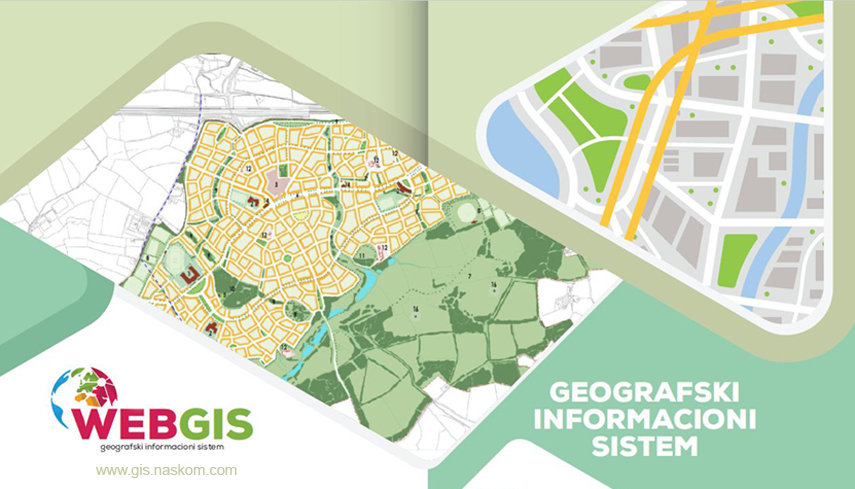
LS WebGIS software
LS WebGIS is a modern WebGIS software for your browser. WebGIS offers intelligent functions for data analysis and spatial representation for numerous industries and business sectors.
The WebGIS software can be used simultaneously for different business sectors and analyses. The range of functionality is scalable at any time and the number of users can easily be expanded. WebGIS can be implemented in a short notice and can be expanded and adapted to your specific needs. New data, new calculations and content can be integrated quickly and easily
For the needs of local administrations, we have created a number of business applications / layers that allow employees to administer data in GIS in a easy and simple way.
The solution has two separate segments. One is a functional part of GIS, which allows access to view and search of data. The second, administration part is related to the management/update, analysis and print of content by local government officials.
WebGIS - Advantages and Benefits
- Intelligent data analysis and visualization on digital maps
- GIS software in your browser, suitable for PC, laptop and tablet
- Easy and intuitive to use
- Customizable and scaleable
Learn more
© Copyright 2025 Naskom. All rights reserved.